
SWAT Modelling of Riparian Buffer Zones in the Yeongsan and Seomjin River Basins
The Institute of Watershed Management (IWMI) carried out SWAT modelling for the analysis of riparian buffer zone effects, as a subcontract to NEXUS within an environmental baseline survey of the Yeongsan and Seomjin river systems. Valued at KRW 15 million, the work ran from a 2021 research plan to a 2022 final report, covering the upstream catchments of the Juam, Sueo, Dongbok, Sangsa and Jangheung dams.
As non-point sources account for a growing share of basin pollutant load, riparian buffers that intercept pollutants near the water’s edge have become more important. Assessing their effect first requires knowing how much currently enters. Load estimation had relied on unit loads by land use, yet actual loads from farmland vary considerably with the crop and how it is grown. The study therefore estimated agricultural loads using the farming patterns typical of areas near the dams.
STORM, ANSWERS, SWAT, HSPF and APEX were compared before selection. They differ in parameters, complexity and computation time, so the choice must suit the target environment. SWAT was applied, covering hydrology, soil loss, nutrients and channel routing together at rural catchment scale. Scenarios progressively widening the buffer zone were then used to quantify load reduction.
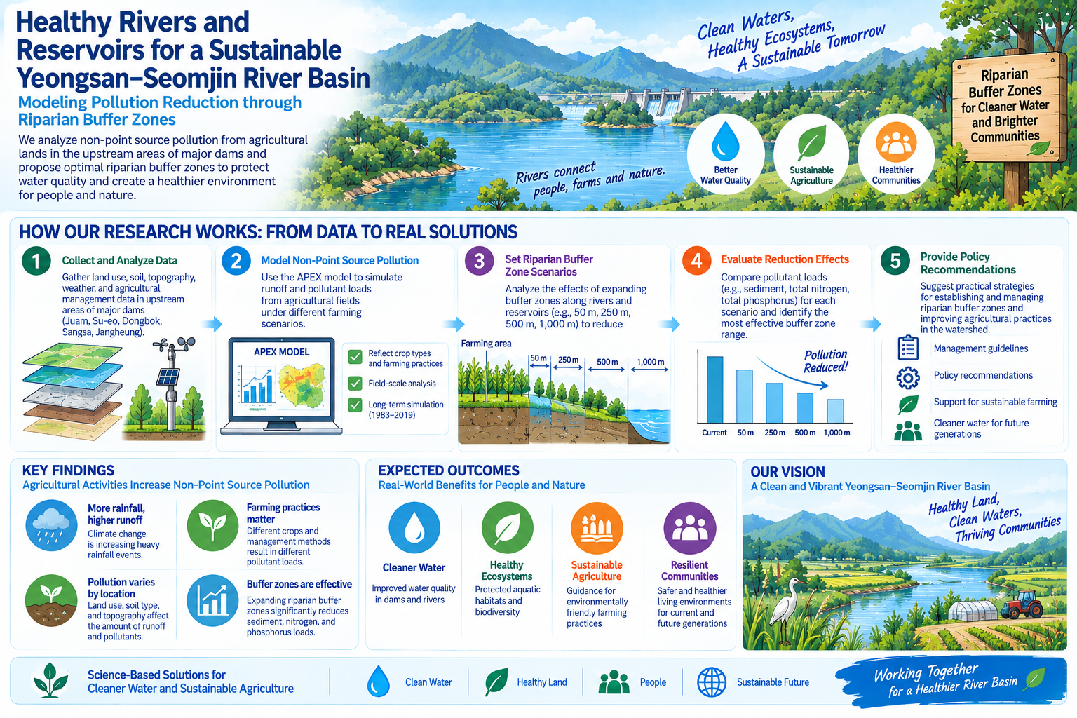
For the main sub-catchments of the Dongbok dam, converting only farmland within the design flood level to grassland cut suspended solids by 1.3 per cent. A 50 metre buffer raised this to 13.1 per cent, 250 metres to 38.0, 500 metres to 55.6, and 1,000 metres, the land acquisition boundary, to 82.8 per cent. Total nitrogen fell by between 1.3 and 81.3 per cent across the same range, and total phosphorus by between 0.9 and 84.8 per cent. Buffer width, in short, is the effect, and the figures allow cost and benefit to be compared when setting riparian zone and land acquisition boundaries.