
APEX Modelling for an Environmental Service Direct Payment Scheme
In 2020 the Institute of Watershed Management (IWMI) carried out a study on an efficient environmental service direct payment model, commissioned by Kyungpook National University. Paying farmers for the public value of agriculture requires models tailored to local environmental conditions, and those models must show in measurable terms whether conditions improved or deteriorated. The study demonstrated a field-scale simulation approach for producing that evidence.
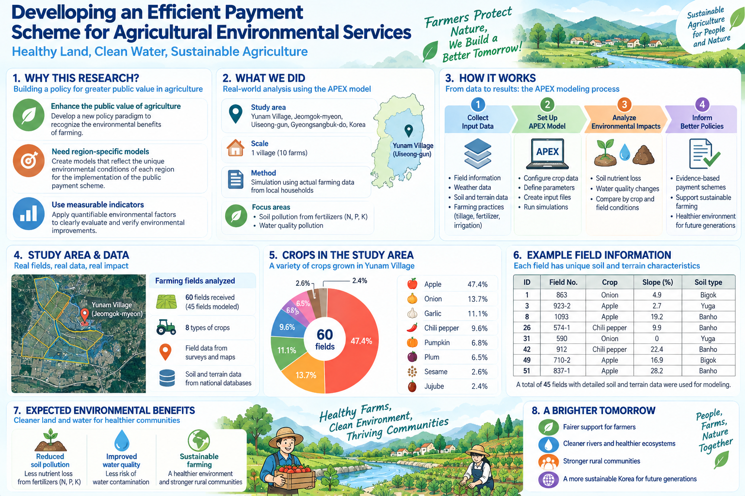
The site was a community of ten farm households in Yunam-ri, Jeomgok-myeon, Uiseong County, North Gyeongsang Province. Because the work used real farm records, land parcel numbers in the farmers’ cultivation diaries were the starting point. Parcel locations were confirmed against the national cadastral map, then combined with detailed soil maps from the Rural Development Administration and slopes extracted from a 30 m digital elevation model. Where a parcel contained several soil series, the dominant one by area was used; slope was taken as the area-weighted mean of grid values within the parcel polygon.
Simulation used the APEX agricultural environment model, version 15.01. Of 60 parcels supplied, 45 were modelled, covering the crops supported by the model’s crop database, including apple at 47.4 per cent of the area, onion at 13.7 and red pepper at 9.6. Soil and water pollution from nitrogen, phosphorus and potassium fertiliser application were analysed together.
Across the 45 parcels, sediment, total nitrogen and total phosphorus were all closely tied to soil loss and correlated strongly with slope, slope length (the USLE LS factor) and sand content. This suggests loads can be estimated statistically from terrain and soil factors rather than by simulating every parcel. The study also recommended monitoring whether farmers actually apply recommended best management practices, and restructuring survey items so that farm management data feeds directly into watershed modelling.