
Monitoring and Modelling Non-Point Source Discharge from Saemangeum Agricultural Land
The Institute of Watershed Management (IWMI) participated as a joint research institution in a study monitoring and modelling non-point source pollution discharge from agricultural land at Saemangeum. The Rural Research Institute of the Korea Rural Community Corporation led the work, which was reported to the Ministry of Agriculture, Food and Rural Affairs, and ran from May to October 2021.
The Saemangeum agricultural land is large-scale farmland being developed to support agricultural enterprises and the regional economy. As of October 2020, 1,513 hectares of the planned 9,430 had been completed and 6,627 hectares were under construction. The difficulty is that the land use plan is shifting. Government policy is diversifying from paddy towards upland and horticultural crops, and upland fields, unlike paddies, do not hold water; runoff leaves directly, so pollutant loads vary considerably with farm management and weather. A large-scale shift to upland cultivation risked greater vulnerability to non-point source pollution.
The study set out to test that concern with data. Test plots were selected on completed sections of the reclaimed land, and runoff, soil loss and pollutant loads under standard cultivation practice were monitored. University and Rural Development Administration test facilities were also surveyed to obtain organic matter analyses and other baseline data needed for water quality assessment.
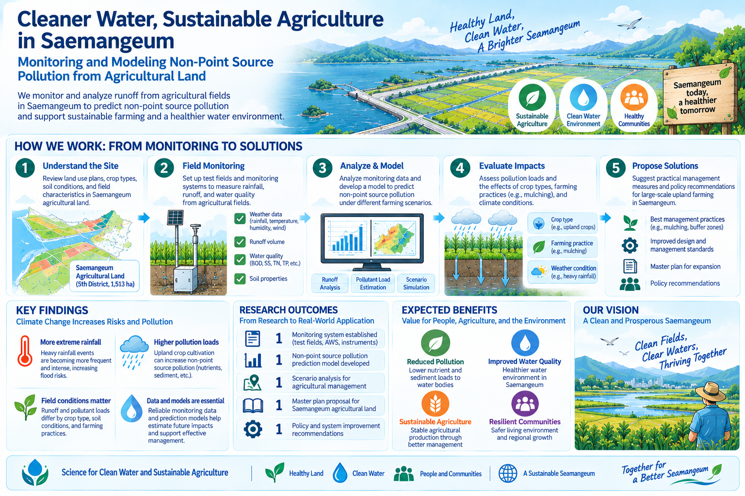
The monitoring record was used to verify model reproducibility and to calibrate and validate parameters, yielding a model that predicts pollutant loads under large-scale upland cultivation at Saemangeum. Rather than discovering water quality problems after development is complete, the study makes it possible to calculate the consequences while the land use plan is still being decided. The results can inform cultivation choices and water quality planning for the site.