
Monitoring and Modelling Discharge from Flat Upland Fields at Different Scales
The Institute of Watershed Management (IWMI) contributed to a study on monitoring and modelling discharge from flat upland fields at different plot scales. Gyeongsang National University was the research institution and the final report was submitted to the Ministry of Agriculture, Food and Rural Affairs in October 2020.
The Saemangeum agricultural land is to be farmed as flat upland rather than paddy. Water moves differently through upland fields than through paddies, so discharge and pollutant load figures cannot simply be transferred. An earlier study had built a monitoring system, but a single year of data was judged insufficient to draw firm conclusions about upland discharge at Saemangeum. This study closed that gap with additional data across plots of differing size.
Test plots were established where soil and crop conditions resemble the Saemangeum reclaimed land. The monitoring system was completed before sowing in early April, in line with the cropping calendar, and data were then collected for each rainfall event. Seventeen rainfall events were identified during the study period; the largest, in early August, delivered 197.8 mm over up to 37 hours. Data from the Daegok station nearest the plots served as the primary record; because these are raw observations without quality control, gaps were filled and the series checked against the Jinju synoptic station.
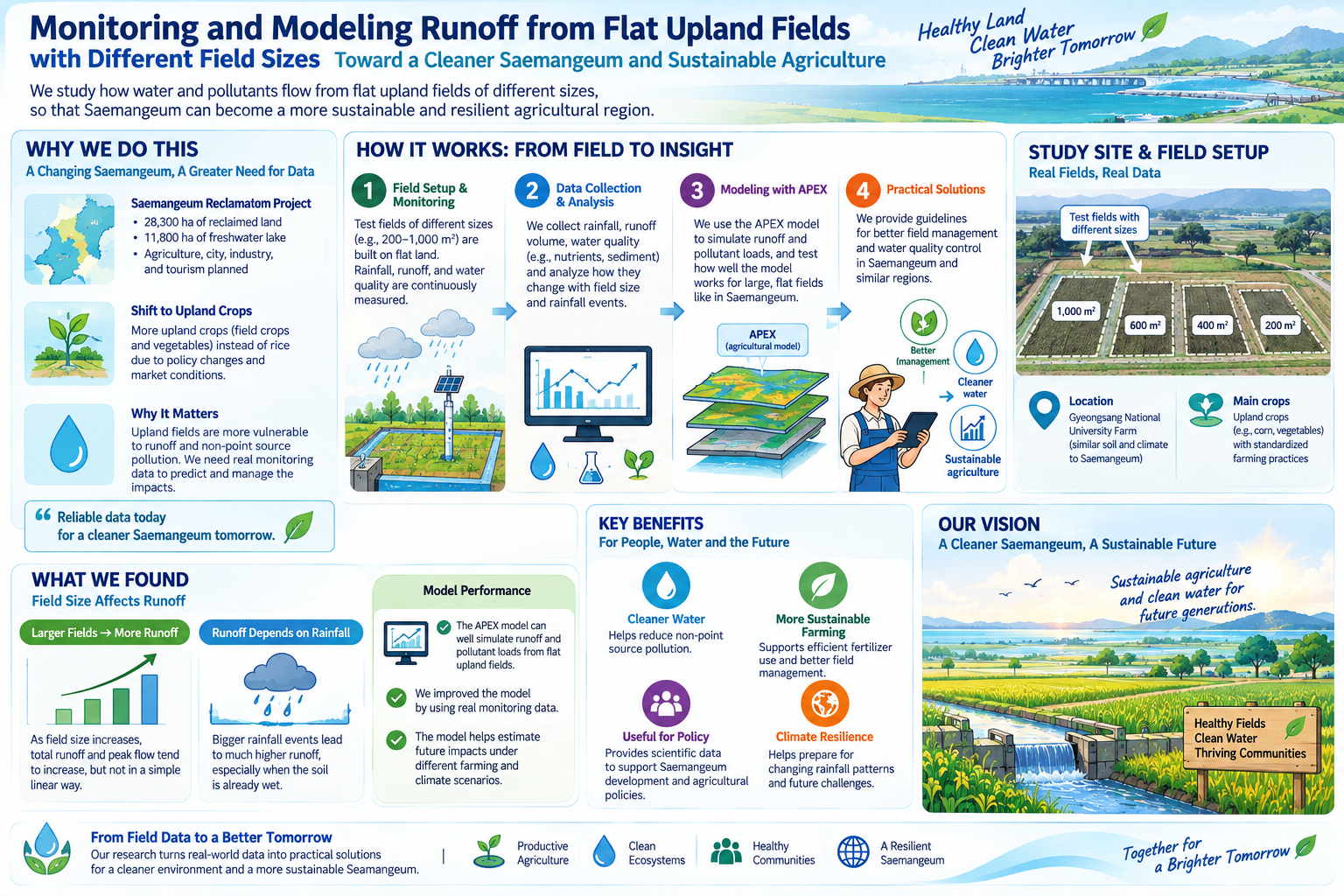
The event-based discharge and pollutant load data served as the calibration and validation record for APEX modelling, providing a basis for simulating upland discharge by plot scale. Siting the plots in a comparable environment rather than at Saemangeum itself was a deliberate choice for data continuity and access, and the findings were designed to apply to flat upland cultivation generally, informing cultivation practice and water quality planning.